Search this site
- Enjoy Darwin
- Darwin Map
Darwin Map
Find your Australian destinations beginning with this Darwin Map from Google showing Kakadu. Litchfield Park, Katherine Gorge, Tiwi Islands and popular tourist attractions.
One of these maps might save time searching the general one below;
- Casuarina Area Map
- Darwin Tourist - City Tours & Attractions
- Darwin Mall - Close up CBD map
- Darwin and Palmerston Retail Shopping
- Darwin Railway Station
- East Point Reserve
- Kakadu Maps
- Nightcliff Community Bank
- Nightcliff Shopping Centre
- Roads to Darwin
Darwin is a long way from any other large cities. There are three other countries capitals closer than any of the State capitals in Australia.
There is only one road south from Darwin,
which connects with the road to West Australia at Katherine, then with
the road east to Mt. Isa just before Tennant Creek then heads south from
there to Alice Springs and ultimately Adelaide.
These are all
sealed roads which are open to traffic all year , except in the case of
exceptional rain , which may cover roads for short periods and make them
impassable.
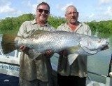
 Adelaide River flood 2007
This view of the Arnhem Highway shows the results of heavy rain early in 2007. Photo courtesy of Darwins Barra Base from a helicopter used to get Barramundi fishermen to their favourite fishing spots when the roads are closed for a week or so.
Return from Darwin Map to Enjoy Darwin Home.
Recent Articles
-
In Vogue Dancing
 with Linda and Murray (Darwin NT) InVogue Dancing Come and enjoy our weekly mix of Standard Ballroom and Latin American dances - mainly Sequence, some
 -
Flea markets operating around Darwin to buy,sell or swap your stuff
 Flea markets are always a popular place to visit and great places to unload all that stuff you don't need anymore.
 -
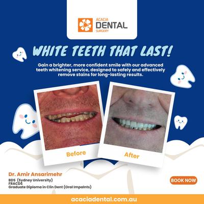
Acacia Dental Clinic
 Acacia Dentistry Care is committed to providing all dental care services all over the world. We all know that dentist care is expensive, but the services
 -
In Vogue Dancing
With Linda and Murray (Darwin NT ) InVogue Dancing Come and enjoy our weekly mix of Standard Ballroom and Latin American dances - mainly Sequence, some


日本語のダーーウィン情報を探しののははここららのサイををごごご覧
「ようこそダダーウ」
Darwin Community
Add your own Information or Comment on Articles in these Community Pages.
Community
- Art & Craft
- Clubs & Groups
- Community Forum
- Fishing
- Fishing Clubs
- Musicians
- Social Dancing
- Sports & Recreation
- Survival Guide
- Venues for Hire
Buy/Sell
History

 Community Banks® return profits to the community.